
€55
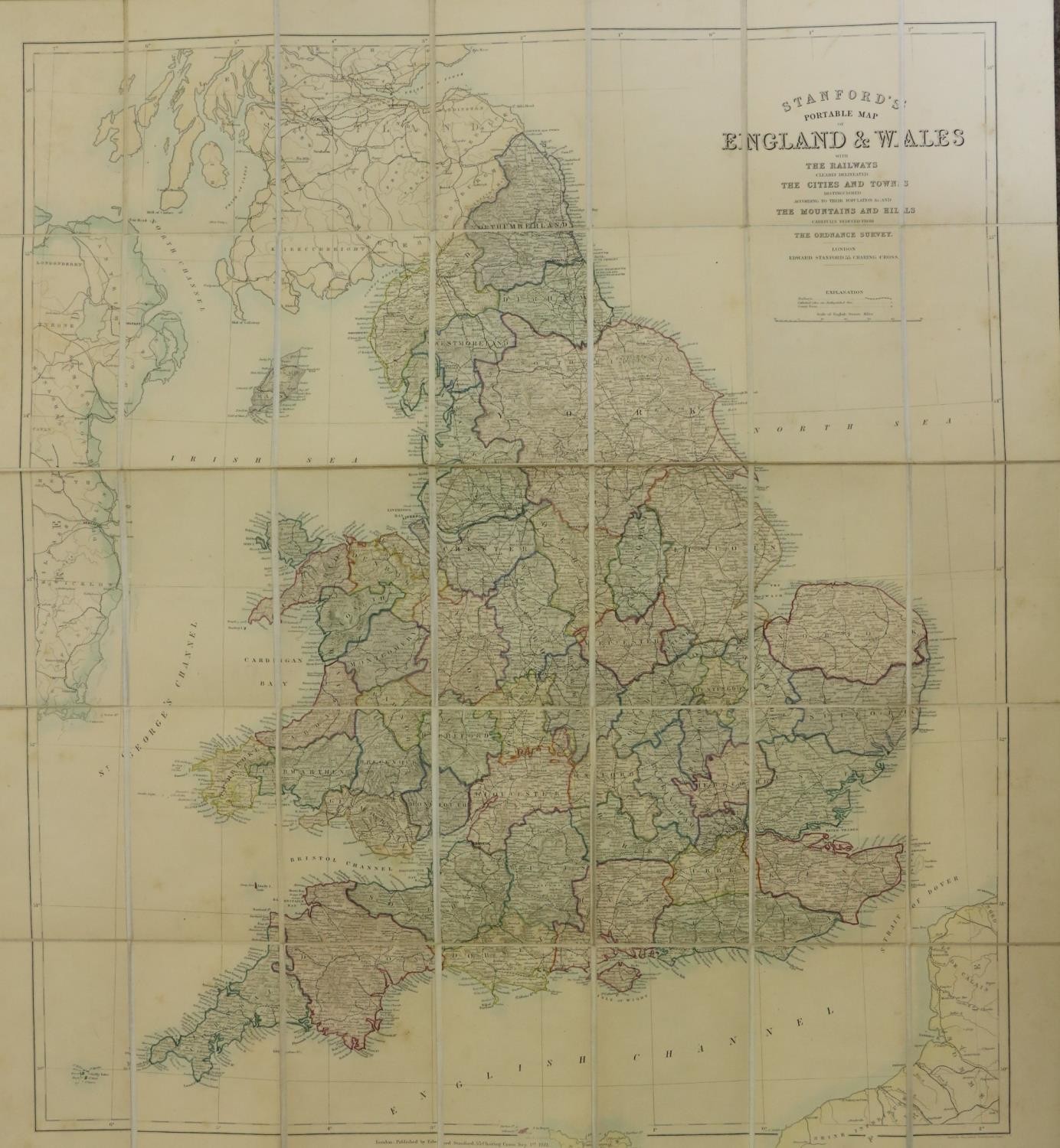
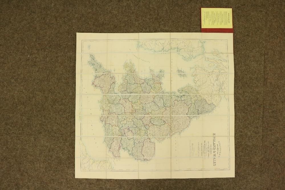
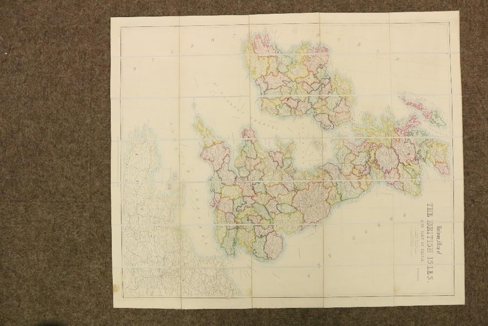
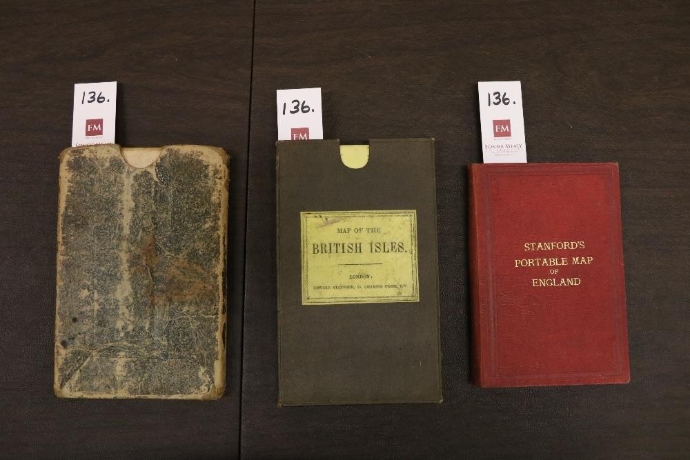
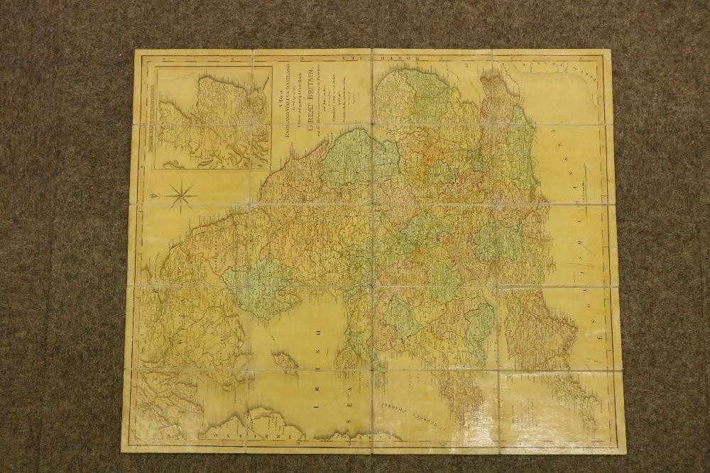
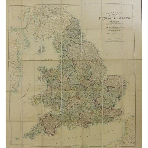
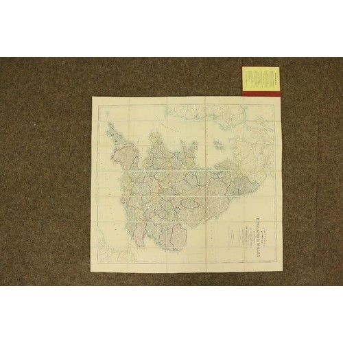
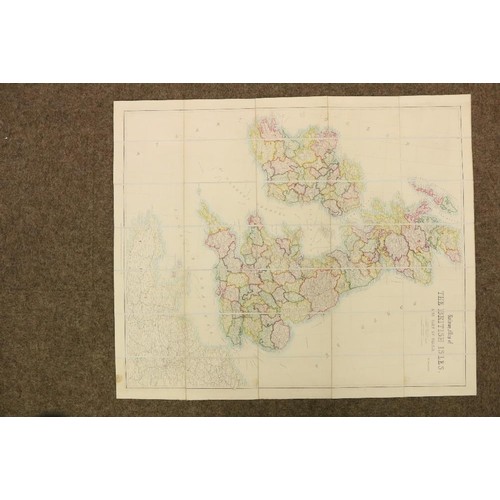
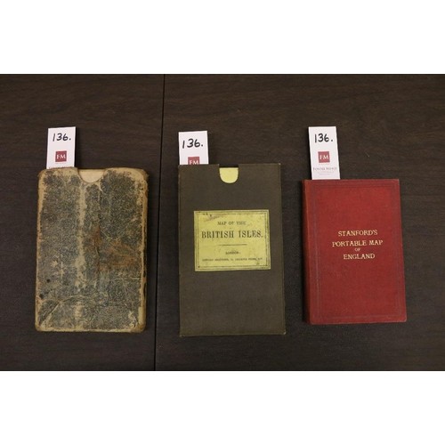
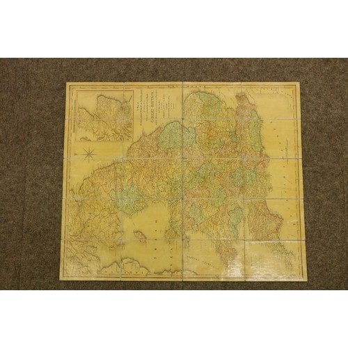
Maps: England & Wales: Faden (W.) A Map of England, Wales & Scotland, describing all the Direct and Principal Cross Roads in Great Britain… L. 1801, lg. fold. linen backed map, 76cms x 62cms (30" x 24 1/2"), fully hd. cold., slip case; Stanford (Ed.) Railway Map of the British Isles and Part of France, by B.R. Davies. L. c. 1880. Lg. folding map on linen, bright hand colouring, 97cms x 81cms (38" x 32") approx. in slip case; Stanford's Portable Map of England and Wales with The Railways… L. c. 1881, fold. linen backed map, fully hand cold, 83cms x 76cms (32 1/2" x 30"), fold. cloth covers. As maps, w.a.f. (3)
Fees apply to the hammer price:
Room and Absentee Bids:
21% inc VAT*
Online and Autobids:
24.69% inc VAT*
+353 (0)56 4441229
[email protected]