€110
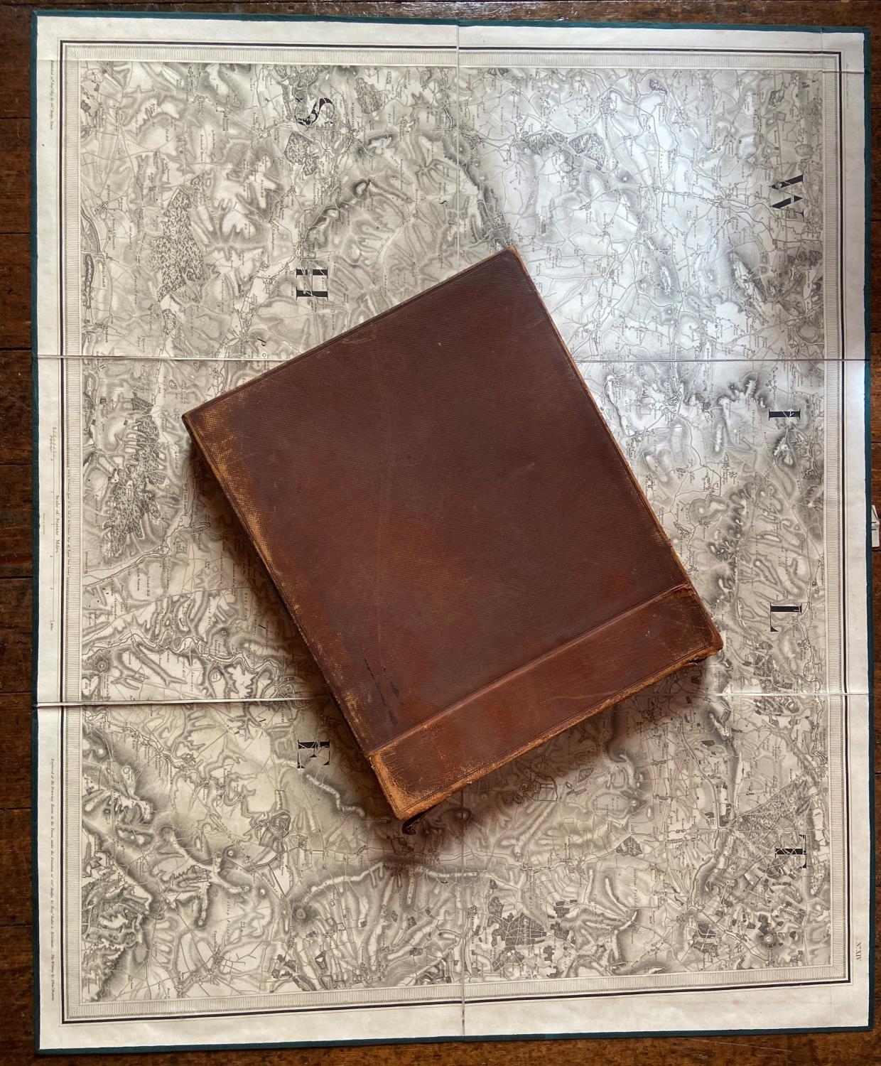
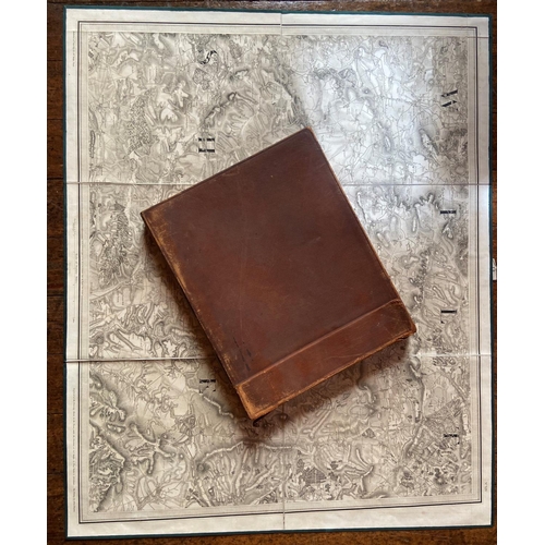
Maps: Ordnance Survey: Colby (Lt. Col.) S. Gloster, E. Somerset & Dorset, Nos. 14 - 19 and 34 & 35. together 8 lg. fold. linen backed maps, Lond. c. 1820 - 1830, each approx. 66cms x 81cms (26" x 32"), in orig. leather slipcase. As maps, w.a.f. Bookplate of Charles Fielding. Good. (1)
Fees apply to the hammer price:
Room and Absentee Bids:
25% inc VAT*
Online and Autobids:
28.075% inc VAT*
+353 (0)56 4441229
[email protected]