€350 - €450
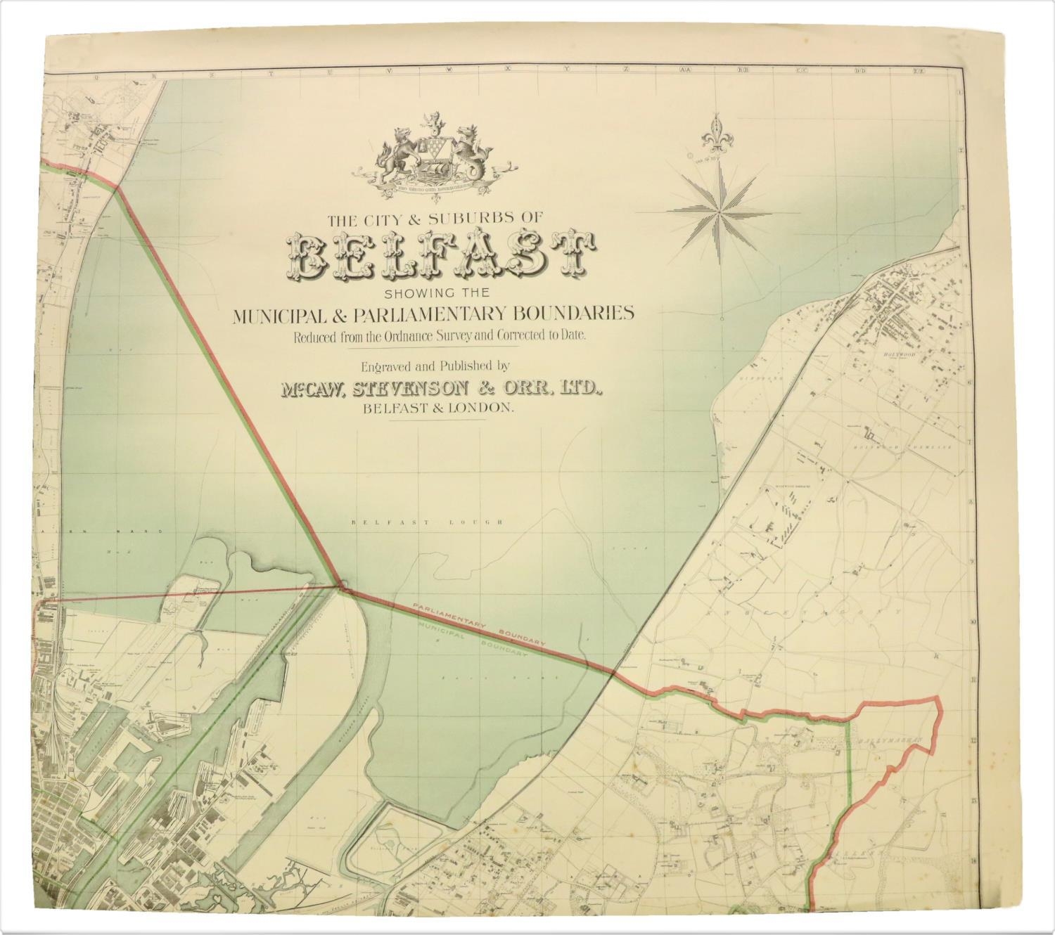
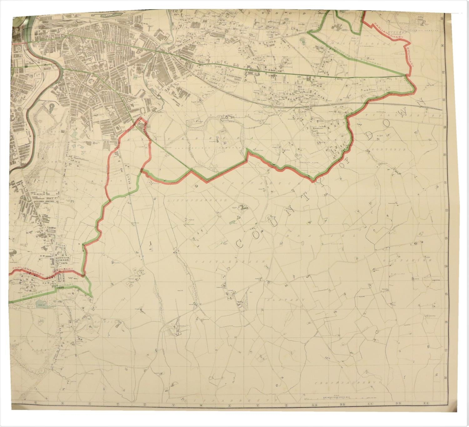
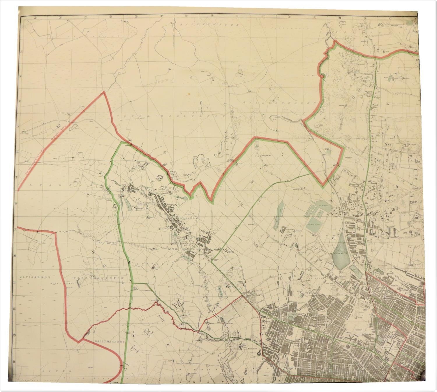
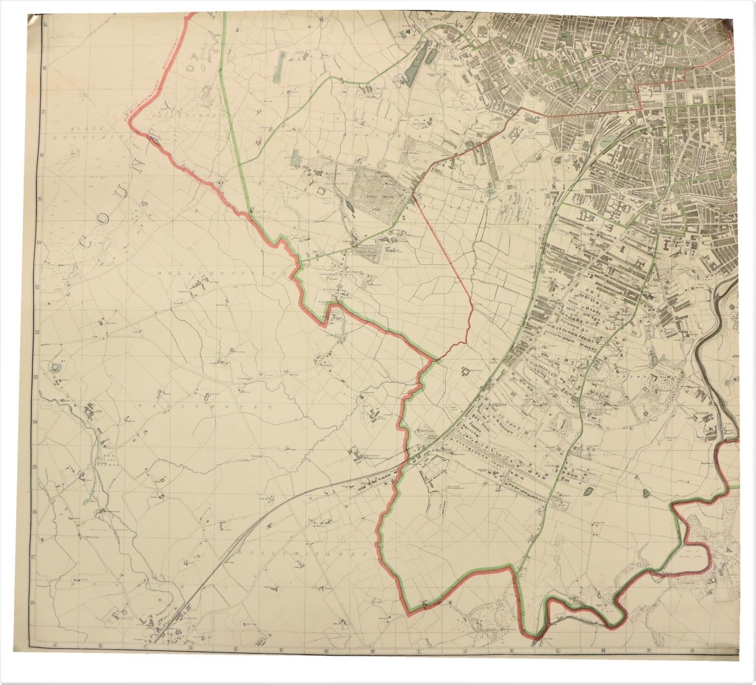
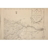
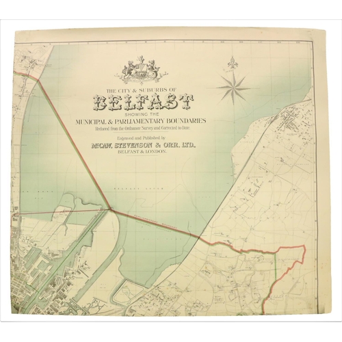
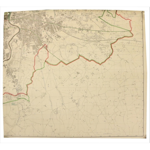
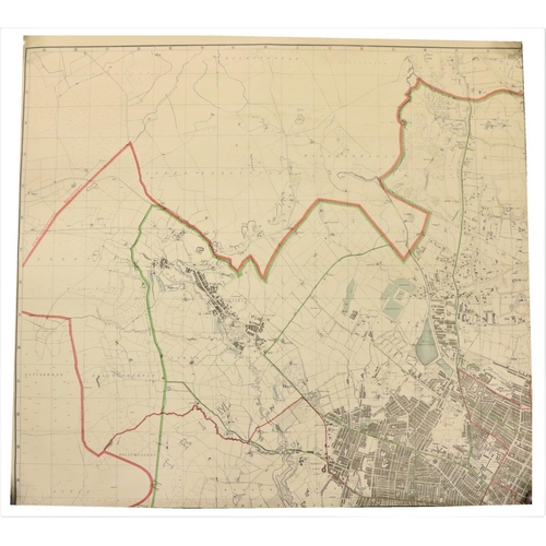
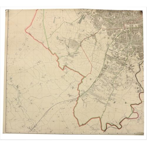
Maps: The City and Suburbs of Belfast showing the Principal and Parliament Boundaries, engraved and published by M'Caw, Stevenson & Orr Ltd., (Belfast & London) c. 1913, four parts, each 33 1/2" x 37" , coloured and outlined, linen backed, as maps, w.a.f. (4)
Fees apply to the hammer price:
Room and Absentee Bids:
23% inc VAT*
Online and Autobids:
26.075% inc VAT*
+353 (0)56 4441229
[email protected]